To Kananaskis Country
Tuesday, August 5 and Wednesday, August 6
After finishing a very scenic but ultimately quick hike to Iceberg Lake in Glacier National Park, the itinerary for our Rockies 2014 week returned us back north, to Alberta. A short drive from Glacier NP's Many Glacier area up highway 89 brought us to the US-Alberta border crossing at Carway / Piegan. From the border, we began a journey through endless miles of rolling, open prairie, generally heading northwest and keeping the dim outline of the Rockies on our left.
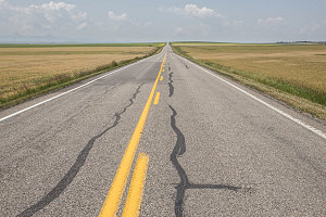
Southern Alberta Prairie
After four days of fairly non-stop outdoor activities, we had pencilled in a bit of an intermission - time to allow us to reposition ourselves, re-organize our gear, do some food and supply re-stocking, and, quite frankly, relax for a bit. We also decided to take a night off from camping and grab a motel.
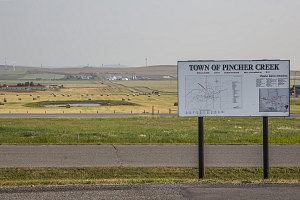
Pincer Creek
Our chosen pit stop for all of this was the southwestern Alberta prairie town of Pincer Creek, population roughly 3000 - a slightly sleepy, dry and dusty place, surrounded by rolling prairie farmlands and grasslands, and lines of wind turbines on the horizons. It had all the necessary facilities and was on the correct path towards the mountains of Kananaskis Country (our next destination). We stopped at a decent enough (but nothing special) motel, had a delightful dinner at an unexpected caribbean-influenced restaurant called Denise's Bistro, and re-stocked our food supplies the next morning at the town's Co-op grocery store.
Denise's Bistro, Pincer Creek
Heading out of Pincer Creek on the morning of August 6 (Wednesday), we headed northwest on the Crowsnest highway, then turned north on The Cowboy Trail - Alberta highway 22. This is a wide, smooth and very pleasant highway which snakes its way north through the heart of southwestern Alberta's foothills country. Moderate, rounded ridgelines and hills rise and fall on either side of the highway. The hilltops were usually wooded, and the valleys were usually grassy, often dotted here and there with a ranch.
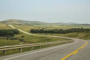
courtesy JInnes
Intrigued by the historic sign, we turned in briefly to the Bar U Ranch - a national historic site. For some reason we didn't see beyond the modern visitor center, and failed to actually explore the over 25 historic structures and ranchland of the actual historic site beyond. Still, it was a nice little stretch of the legs and we got a few pictures of artifacts placed near the parking lot.
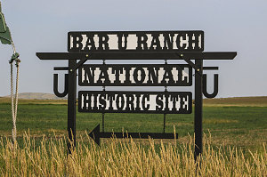
courtesy JInnes
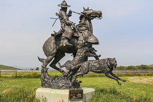
courtesy JInnes
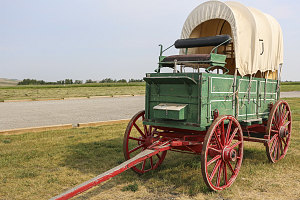
courtesy JInnes
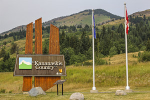
At the town of Longview, we turned off of the Cowboy Trail (hwy 22) onto highway 40 - the highway that led into Kananaskis Country. The Kananaskis contains a big chunk of Rocky Mountain front ranges, of which a significant sub-chunk was located in Peter Lougheed Provincial Park - our destination for the day.
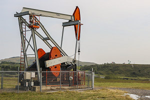
courtesy JInnes
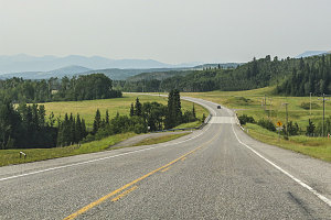
courtesy JInnes
courtesy JInnes
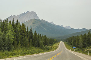
The gentle mountains of the foothills soon grew larger and larger as we headed west and north on highway 40. Soon bare rock and jagged mountaintops became common, as did the characteristic highly-tilted strata of this area. In many places, peaks were constructed of huge slabs of sedimentary rock vertically-tilted straight into the sky.
We also started coming across evidence of Alberta's great floods of June 2013. Particularly striking was a washed out section of highway where the only intact items were the two guardrails, still attached at either end of the washout but otherwise dangling free in the air - two long rails of steel with wooden posts, hanging like clothespins on a huge steel clothesline. Fortunately, a temporary detour and bridge allowed us passage.
courtesy JInnes