This trip report documents a first visit to the US-Canada border mountains known in Quebec as the Montagnes Frontalieres. Located along the Quebec-New Hampshire-Maine border, they rise up to respectable (for eastern mountains) elevations, and have a surprisingly well-developed network of trails. Collectively these trails are known as the
sentiers frontaliers (
official website).
Getting out day hiking in 2021 has been a bit of a struggle. The inability to go to my favorite regional mountain chains - the Adirondacks and the Whites - has been a bummer. Ontario and Western Quebec offer pleasant enough hikes, but really.... there are no mountains.
Caroline noted and suggested these frontier mountains in the spring, but local Covid lockdowns prevented us from exploring them at that time. The idea to visit them resurfaced recently, and finally, we decided to give them a visit.
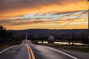
Eastern Townships Sunrise
Our plan was to sample a couple of the range's border peaks adjacent to a "lobe" of Maine that protrudes into Quebec. The two peaks, Montagne de Marbre and Mont Saddle, sit right on the Maine-Quebec border, and a loop route existed that encompassed both peaks. The trailhead seemed accessible and easy, and the total distance was around 14km, which also seemed quite reasonable for us rusty mountain hikers.
It was a beautiful November morning as we drove the backroads of Quebec's Eastern Townships, which generally cut a straight path up-and-down across the area's ridges and valleys, towards the Montagnes Frontalieres. The trailhead for our particular loop was at the end of regional road 10e rang (in english, tenth line), which is itself about ten kilometres south of the quaint town of Notre-Dames-des-Bois.
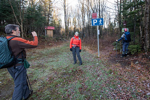
We arrived at the main parking lot at the end of 10e Rang at about 7:30 a.m. The parking lot was deserted, which I was slightly surprised at (surprised but pleased). We set about getting our gear ready and familiarizing ourselves with the trail signage and nomenclature of the
sentiers frontaliers.
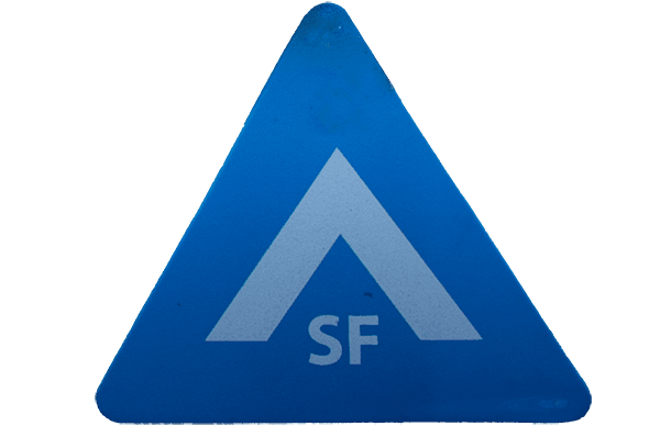
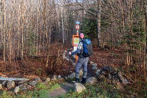
We knew exactly what we wanted to do - to start off along the main trail towards Montagne de Marbre. However, despite the extensive signage (including a little mini-topo posted right below the main trail sign), we still got confused. The main problem is that the icon that's been chosen for the
sentiers frontaliers is a stylized "up-arrow". An up-chevron, I guess. That's confusing, because the symbol for a campsite or of camping is typically the outline of a tent, which looks
very similar. So we were super confused about whether or not we were following the signs to a campsite or if we were on the trail or.... and to top it off, they also use the same symbol in a rotated fashion to cleverly indicate directionality. Clever, yes, but also very ambiguous. Bottom line: this symbol does not mean camping. It is the main trail symbol used on the
sentiers frontaliers. And sometimes they will be rotated to indicate direction.
courtesy JInnes
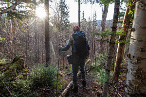
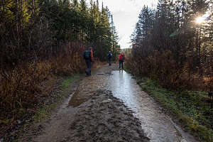
Once we figured out what was going on with the signs and trail markers, we were on our way. We were following the "SF2" trail east, roughly following the Riviere au Saumon that drained the valley we were in. We hiked past a very large and spacious lean-to, crossed a slippery bridge, then crossed one of the many forest roads that criss-cross the valley. If you are paying attention, there are many prominent "^SF2" trail markers to keep you headed in the right direction.
courtesy JInnes
Crossing the Salmon River
Eventually, the SF2 trail merges with one of the forest roads, and we are presented with a very nice view of the cliffy and steep south face of Montagne de Marbre. We are looking forward to the next section of SF2, which looks like it might travel at the base of the cliffs, giving us some hopefully impressive views (of it).
courtesy JInnes
courtesy JInnes
After following the SF2 trail along the old forest road for about 600-700 metres, we come to what appears at first glance to be a junction. I immediately and blindly conclude that it is the junction of the SF2 trail and the SF5 trail (The SF5 trail is our descent route for later in the day). In reality, however, this is not a junction, and in fact the SF2 trail turns off of the old forest road here and in a few more metres into the forest, reaches the SF2-SF5 junction.
Because of my assumption, we continue straight on the old forest road (which means we are now no longer on trail SF2). Eventually the forest road becomes waterlogged and we head off left onto a very lightly tracked herdpath. Although we are no longer seeing "SF2" trail signs, there is some blue flagging, and again I don't put two-and-two together, so we continue on. The faint herdpath goes through marshy ground, and eventually merges back with the old forest road, and starts ascending up to a low saddle southeast of Montagne de Marbre.
courtesy JInnes
First indication of mistake
courtesy JInnes
After a bit of uphill, we reach an official sentiers frontaliers trail junction, between SF2 and SF3. We are super confused because we see SF2 coming from a direction we hadn't hiked and then heading off in a new direction. We first think that the trail signs are all messed up, and we start heading in what we think is the most likely correct direction. Jenn soon points out that we might actually be heading backwards on SF2. Initially I scoff at that, but after mulling it over in my head, I realize that explains the strange signage. I have another closer look at our map and finally realize that we skipped an entire section of SF2 (and probably the part with the cool views at the base of the cliffs of Montagne de Marbre).
With our mental model corrected, we walk back to the SF2/SF3 junction and continue forward on SF2.
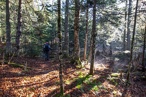
SF2 continued uphill to the crest of the low ridgeline southeast of Montagne de Marbre. The warm morning sun is now causing the water in the damp ground to visibly evaporate into the air, creating neat puffs of ground mist. The SF2 trail levels out and soon ends in a junction with SF1. SF1 is the main long-distance "border-following" trail of the sentiers frontaliers, and we will be following it from here until the top of second summit (Mont Saddle).
SF1 winds around through pleasant forest and soon comes to an area of backcountry camping next to the little body of water known as Lac Danger. From the shores of the lake, there is a nice view of Montagne de Marbre's cliffs.
courtesy JInnes