Algonquin Peak. Nun-da-gao Ridge. Hopkins. Jay. Big Slide. Many different options were on the table as we drove down early on a Saturday morning to the Adirondacks. Something a bit harder, something a bit shorter? The discussion ended with a decision to hike the Soda Range loop (ie - Nun-da-ga-o ridge), primarily based on the fact that Pu and Caroline, our two co-hikers this week, had never done it. Certainly it would mean another easy day, something that was becoming a trend with our recent Adirondack hikes.
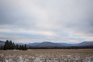
A thin layer?
The forecast had called for abnormal warmth and sunshine, with partly-cloudy skies expected to clear by late morning. However, as we neared the Lake Placid area, we noticed that the cloud cover was still 100% overcast. We were feeling somewhat cheated as we pulled into a Saranac Lake gas station for a quick bathroom break.
As I was waiting in the car to continue on, I looked up at the sky. It was still cloudy, but it was mottled, with sections that glowed with a bit of extra light. It seemed like sunlight, and that got me thinking.... was I seeing sunlight because the clouds only existed in a thin deck? and if so, how high was this cloud?
I voiced my thoughts to the others as they returned to the car. "This might be a low cloud deck", I said. "If we were to pick a high peak with a short approach, we might just luck out and be able to climb up above it, which would be spectacular".
I didn't get a super positive response to my proposal... more just a neutral 'meh'. However, no one was really opposed to it either, so I called it. Our destination would instead be Algonquin - a mountain with just about the best height-to-short approach ratio of any of the High Peaks. If there was an overcast to be surmounted, we'd be most likely to do it on Algonquin. Hopefully, though, we'd punch through these clouds to experience that which is very rarely encountered in the Adirondacks: hiking above the clouds. However, it was a substantially harder outing than a hike in the Soda Range, and I again pointed that out to our hiking company. Fortunately, they were still a go for the harder alternative.
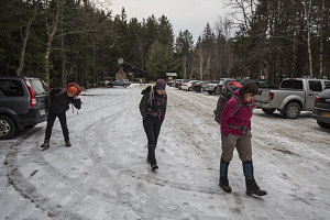
ADK HPVC start
Instead of heading to Keene Valley, we turned right on route 73 just beyond Lake Placid, bound for the $10 per day car park at the High Peaks Visitor Center. We were ready - boots on the ground - at 8:10 a.m.
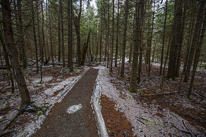
Barely a dusting
Winter had not yet come to the Adirondacks - at least not here down in the Heart Lake area. Apart from the lightest dusting of snow, the ground was entirely bare. Needless to say, no snowshoes or traction aids were needed.
courtesy JInnes
Photobomb
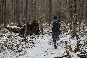
The first part of our hike was pretty standard - walk the arterial pathway east towards Heart Lake, then turn off onto the only-slightly-less arterial branch towards Wright and Algonquin Peaks. As we ascended towards Algonquin, the light dusting of snow gradually became deeper. It never reached anything more than an inch or two deep, but covering the rough bouldery trail, it made for more unpleasant hiking.
courtesy JInnes
Forceful Hiking
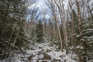
Using the mind-occupying trick of extensive chatting, we hiked upwards along the tedious trail towards Wright and Algonquin. As we neared the 3100-foot mark, I looked up and noticed a bit of blue sky ahead. I was happy to see it, but the key question was: were we pushing through a layer of cloud, or were the clouds above simply breaking up?
Some blue ahead
The bouldery section ended at the wooded notch between Wright Peak and the open rock bump I like to call "Wright's Nubble". From here the trail is more slabby than bouldery, and, combined with a thin layer of ice, meant that we needed to put on our traction aids.
Not far beyond this point, I got my first look out over the surrounding countryside. I was thrilled to look north and see the top of Whiteface Mountain floating above a flat layer of cloud, likely caused by a temperature inversion in the air column. It was starting to look like our little dream was going to come true. Would it hold together long enough for us to make the summit?
We turned and continued on up the trail. Soon we passed the turnoff to Wright Peak (which would have been an even shorter path to treeline than climbing Algonquin, but which was not on our loop route - plus I've done Wright way too many times over the last few years). Beyond this, the trail started to angle up quite steeply, starting the ascent towards Algonquin's treeline.
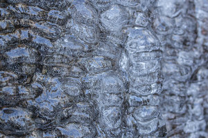
While the two-inch depth of snow didn't change much as we ascended, the thickness of the ice on the trail did. As we neared Algonquin's treeline, we encountered several long and quite steep sections of slabby trail that were solidly surfaced in very substantial ice. Our microspikes were working well, but we were starting to think that full-on crampons might have been warranted.
Overall, though, our microspikes worked well. With careful route choices and proper foot placements, we made fairly rapid upward progress. We were now getting even better views of the surrounding terrain. To the west was an astonishingly broad deck of clouds that receded far into the west. At its near end, close to us, tendrils of white were spilling around the wooded peaks of Street and Nye. Superb.
courtesy JInnes
The story of the north trail
At the 4750-foot level, we arrived at treeline on Algonquin's northern slopes. Although it was a fairly calm and warm day for december, we still elected to stop and layer up before continuing further.
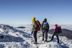
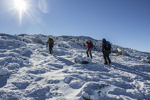
Properly clothed, we continued upward, emerging onto open alpine terrain. The slope angle was a little less steep here, and there was less ice than on the wooded section of trail below. Therefore, the sketchiness of the climbing was reduced. Good thing, too, because the views we were getting increasingly distracted our attention.
courtesy JInnes
Practically falling over each other with glee at our good fortune to be hiking up here in such special conditions, we continued up towards the summit. In addition to the beautiful undercast, all of the rocks and cairns around us were covered in a most delicate arrangement of frost and ice flutings. And, of course, up here above the clouds, it was brilliantly clear and sunny. We briefly pitied the poor souls stuck down under the murk, deprived of this... this... gloriosity.
courtesy JInnes
We hurried on towards the summit, anxious to get a full 360-degree view.
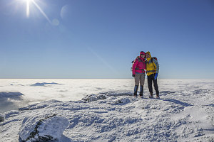
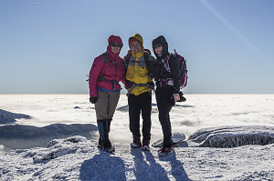
Upon arrival on top, Pu's quiet exclamation of "wow" conveyed the appropriate amount of awe. Away to the south stretched a nearly perfect carpet of white, all the way to the distant horizon. Here and there, a small cluster of peaks shouldered up through, standing out very distinctly from the sea of cotton. A true top-of-the-world view, and something rarely encountered when hiking in the Adirondacks.
courtesy JInnes
courtesy JInnes
Pu and Caroline, Algonquin
