After Upper Wolfjaw, we had one more ridgeline bump to cross over, and then a reasonably trouble-free descent down the steeps to the Upper Wolfjaw-Lower Wolfjaw col. Here, our solitary snowshoe tracks continued on along the range trail, leaving us with an unbroken trail down to Johns Brook Valley. No matter, though, for this was significant progress: no more steep ups and downs and close-in, slush covered tree branches. And, it was all downhill from here.

courtesy JInnes
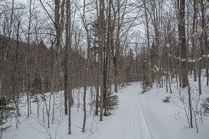
Nice having tracks to follow
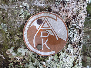
Nearly-buried trail marker
It was an approximately 1.2 mile (2.0 km) descent from the col to the junction with the Southside trail, down at the bottom of Johns Brook Valley. The soft snow and unbroken trail continued to extract extra energy from us, even though we were on a nice, easy downhill grade. I was glad to reach a broken-out trail again. The time: 7pm. Looked like we weren't getting back to the trailhead before dark on this one!
With our arrival at the Southside trail, we had one final descision to make: either (a) had back upstream to the junction with the main Johns Brook Valley trail (which we knew to be well-packed out and easy to follow), (b) choose to follow the South-side trail, which was officially abandoned but which had been clearly used by skiiers and which offered the shortest route, or (c) bushwhack directly across to the main Johns Brook Valley trail - only a hundred and fifty yards or so away on the other side of Johns Brook - thereby achieving the shorter distance while remaining on a known trail.

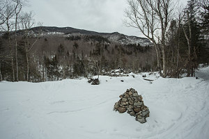
South side trail
Chris and Jenn refused to consider anything that involved backtracking, so option (a) was out. Option (b) sounded good in theory, but a quick look across to the other side of Johns Brook revealed a steep and high-looking embankment that we would have to bushwhack up. Further trail-breaking and bushwhacking (especially steeply uphill) was also a no-no, so our decision was easy: we'd take the Southside trail, which follows the southern banks of Johns Brook to a point near the trailhead, then crosses over and rejoins the main trail.

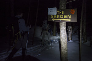
Dusk along the Southside trail
With the light starting to fade, we started off down the Southside trail. Having a broken out track resulted in a nice up-tick in our speed, and we quickly starting making inroads into the final 2.87-mile (4.5-ish km) distance back to the trailhead. We made it all the way to the brook crossing before it became necessary to break out the headlamps.

Nearing the end
With one last bit of slightly rough terrain to negotiate, we re-joined the main valley path. From there, it was a quick march back to the parking lot. Even though night had fallen, the temperatures were still well above freezing, and some parts of the bed of the trail - as well as the entire parking lot - was turning into watery slush. Very tired and wet, we were glad to be done our over twelve-hour odyssey.
Still, there was much to be thankful for: it had been a beautiful - if slightly warmer than wanted - day. The ascent up the open slides along the Orebed Brook system had been extremely enjoyable, and the climb up and over Gothics - as always - was a lot of fun and very scenic. And, Chris had significantly added to his 46R tally. No one had gotten injured, and we had burned a great many calories and upped our cardiovascular fitness by a notch or two. Solitude, too - we had encountered no one for the entire day. It was as if the mountains were entirely ours for the day!
Interactive trackmap with photo points - Gothics-Armstrong-U.Wolfjaw Loop - click map to view
Gothics-Armstrong-Upper Wolfjaw Loop from the Garden - Hike Data
Start Time:
7:59a.m.
End Time:
8:37p.m.
Duration:
12h38m
Distance:
21.67 km
(13.47 mi)
Average Speed:
1.7 km/hr
(1.1 mph)
Start Elevation:
1552ft
(473m)
*
Max Elevation:
4785ft
(1458m)
*
Min Elevation:
1543ft
(470m)
*
End Elevation:
1606ft
(489m)
*
* : +/- 75 feet
Total Elevation Gain:
3893ft
(1187m)
*
Total Elevation Loss:
3835ft
(1169m)
*
* : +/- 75 feet
Elevation Graph