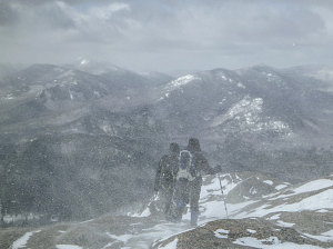
Hurricane Mountain has a beautiful panorama in all directions, but best of all towards the central High Peaks. Todays view, although dramatic, was somewhat muted by the blowing snow and misty, shape-shifting clouds.
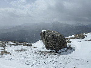
courtesy JInnes
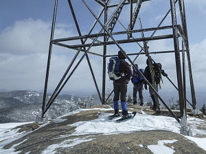
courtesy JInnes
The blustery conditions and cold temperatures kept our summit visit short, and soon we were heading back down through the wind to the calmness of the trees.
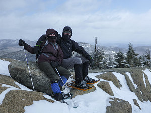
courtesy JInnes
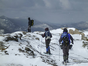
courtesy JInnes
Gillian and Chris on Hurricane
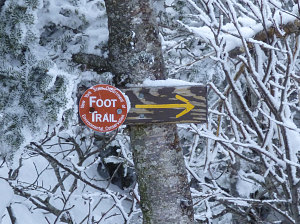
Beginning the journey down
courtesy JInnes
courtesy JInnes
courtesy JInnes
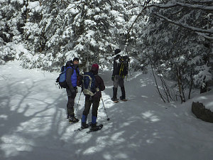
Once back in the shelter of the forest, we took a short breather and then headed back north, down the trail we had just ascended. In no time flat we had made it back down to the open birch forest, now distinctly sunnier than an hour before.
Another thirty minutes' walk brought us back to the Gulf Brook lean-to, where the earlier inhabitants had cleared out. We stopped for a final sit-down snack break on the handy ledge at the edge of the lean-to's floor.
We packed our snowshoes away at the lean-to and quickly barebooted the mostly flat trail back to the summer trailhead. Another five minutes down the unplowed road brought us to our vehicle. A quick and very enjoyable outing; especially with the blustery conditions above, you could say that we experienced a Saint Patrick's day "Hurricane"!
Interactive trackmap with photo points - Hurricane Mtn via North Approach - click map to view
Hurricane Mountain via North Approach - Hike Data
Start Time:
8:47a.m.
End Time:
1:12p.m.
Duration:
4h24m
Distance:
9.02 km
(5.6 mi)
Average Speed:
2.0 km/hr
(1.3 mph)
Start Elevation:
2257ft
(688m)
*
Max Elevation:
3743ft
(1141m)
*
Min Elevation:
2136ft
(651m)
*
End Elevation:
2267ft
(691m)
*
* : +/- 75 feet
Total Elevation Gain:
1538ft
(469m)
*
Total Elevation Loss:
1570ft
(479m)
*
* : +/- 75 feet
Elevation Graph
Walk between Summer Trailhead and Winter Trailhead
Start Time:
1:12p.m.
End Time:
1:18p.m.
Duration:
0h6m
Distance:
0.48 km
(0.3 mi)
Average Speed:
4.8 km/hr
(3.0 mph)
Start Elevation:
2274ft
(693m)
*
Max Elevation:
2281ft
(695m)
*
Min Elevation:
2131ft
(649m)
*
End Elevation:
2131ft
(649m)
*
* : +/- 75 feet
Total Elevation Gain:
0ft
(0m)
*
Total Elevation Loss:
89ft
(27m)
*
* : +/- 75 feet
Elevation Graph
