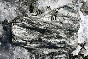
courtesy PChen
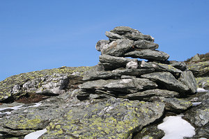
courtesy PChen
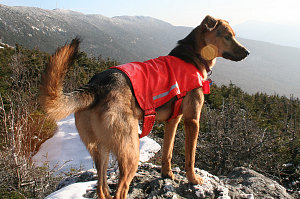
courtesy PChen
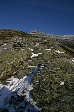
courtesy GAshford
courtesy GAshford
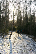
Going down was much quicker than up. The gradient and terrain were easier, and the west-facing and south-facing aspects of the descent route meant much less snow, ice and slippery bits. It took us only two hours from summit down to the car at the Underhill State Park Entrance. Thanks again, guys, for a great day and climb. Most enjoyable!
Total Distance: 10.1 km; Total Elevation Gain: 2800 feet; Max Elevation: 4400 feet; Average speed (including stops and bouldering): 1.4 km/hr.
The map below is a fully-interactive google-based map, with the location of our hike highlighted and the actual GPS tracklog shown in red. If you double-click on the map, you will get a full-size popup that includes the GPS track in 10x higher detail, clickable icons for each picture taken on the hike, and the ability to view all of this on a highway, satellite, or USGS topographic map.
Interactive trackmap with photo points - Mansfield traverse - click map to expand
Start Time:
8:28a.m.
End Time:
3:58p.m.
Duration:
7h29m
Distance:
10.17 km
(6.32 mi)
Average Speed:
1.4 km/hr
(0.8 mph)
Start Elevation:
1721ft
(525m)
*
Max Elevation:
4418ft
(1346m)
*
Min Elevation:
1634ft
(498m)
*
End Elevation:
1795ft
(547m)
*
* : +/- 75 feet
Total Elevation Gain:
3005ft
(916m)
*
Total Elevation Loss:
2898ft
(883m)
*
* : +/- 75 feet
Elevation Graph
courtesy GAshford