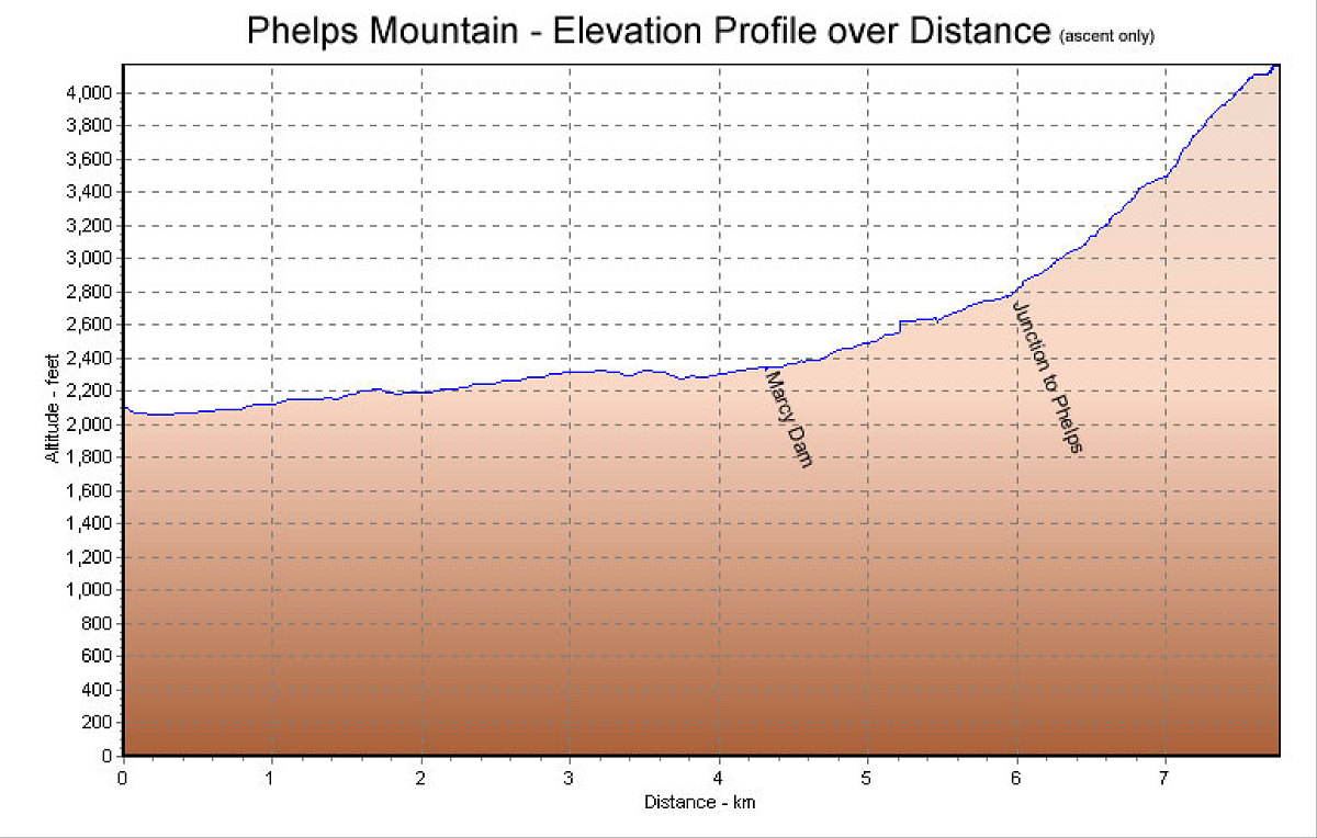
This is the GPS-derived elevation profile of our hike up, over distance. The down profile is exactly the same.
This image is from the presentation "Phelps Mountain via South Meadows".
 Go to presentation where this image occurs.
Go to location in presentation where this image occurs.
Go to presentation where this image occurs.
Go to location in presentation where this image occurs.
Copyright 2001-2016 alavigne.net.