The descent route involves traversing north along a sort of high plateau for a bit until a weakness in the south face of the Pomagnon range is reached. This weakness, a steep talus gully, allows for a quick descent. Once at the bottom, a 4-way junction is reached. The signage/numberage on the signs and the routes that the paths take do not correspond well to what is marked on the Tabacco topo map. But in general head left and back around until you reach the railroad grade/recreational pathway again. Follow this back up to where you initially started and go down left to the parking area.
Note: an alternative is to start at the Hotel Fiammes, and make a loop from there. By examining the topo map it should be obvious how to make that work.
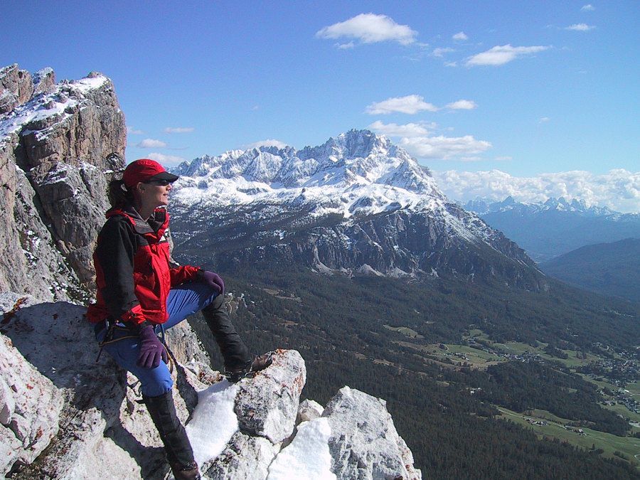
This image is from the presentation "Via Ferrata - Protected Climbing Paths in the Dolomites - Via Ferrata Strobel".
 Go to presentation where this image occurs.
Go to location in presentation where this image occurs.
Go to presentation where this image occurs.
Go to location in presentation where this image occurs.
Copyright 2001-2016 alavigne.net.