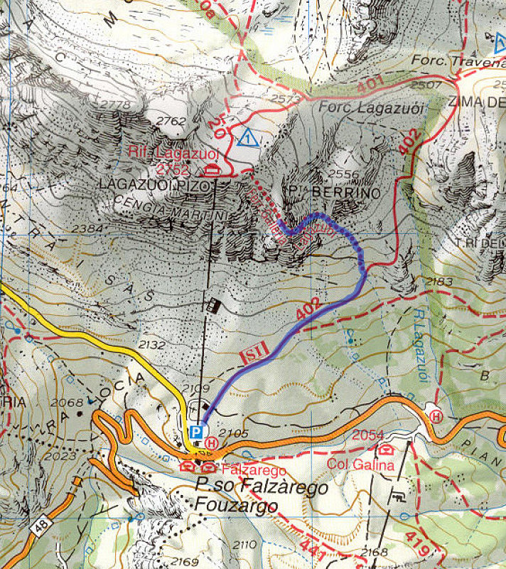
Lagazuoi topo with track.
This is not an actual GPS track, but is a hand-drawn record of where we hiked to get to the tunnels.
This is not an actual GPS track, but is a hand-drawn record of where we hiked to get to the tunnels.

This image is from the presentation "The 2002 Europe Trip - Maps".
 Go to presentation where this image occurs.
 Go to location in presentation where this image occurs.
 Go to presentation where this image occurs.
 Go to location in presentation where this image occurs.
Copyright 2001-2016 alavigne.net.
