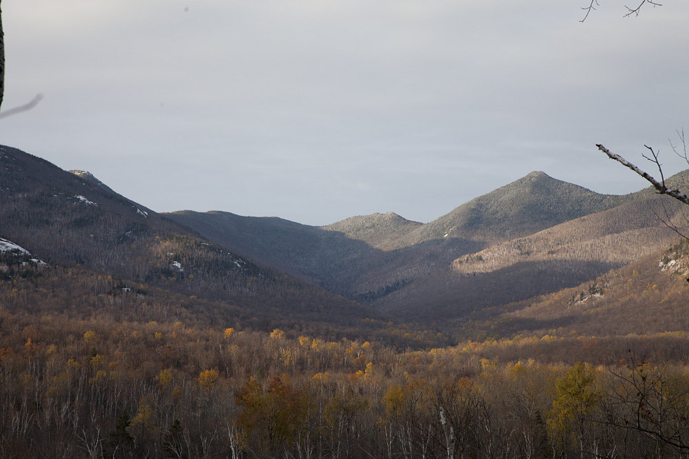
A view looking up the South Fork of the Boquet River. Three of our four 4000-footer objectives are visible: pointy Hough on the right; somewhat-indistinctive South Dix just left of center, and a sliver of the top of East Dix on the left. The Boquet River approach herd path heads directly up the bottom of this valley.
This image is from the presentation "Dixes minus One: East Dix (Grace), South Dix (Carson), Macomb and Hough via Boquet River Approach".
 Go to presentation where this image occurs.
Go to location in presentation where this image occurs.
Go to presentation where this image occurs.
Go to location in presentation where this image occurs.
Copyright 2001-2016 alavigne.net.