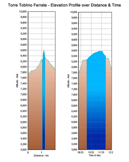
This is a GPS-derived elevation profile of our hike and climb of the two Torre Toblino ferrate (one up, the other down). The starting and ending point of the hike was the rifugio Locatelli.
This image is from the presentation "Via Ferrata - Protected Climbing Paths in the Dolomites - Via Ferrata delle Scalette and Sentiero del Curato M. Hosp, Torre Toblino".
 Go to presentation where this image occurs.
Go to location in presentation where this image occurs.
Go to presentation where this image occurs.
Go to location in presentation where this image occurs.
Copyright 2001-2016 alavigne.net.