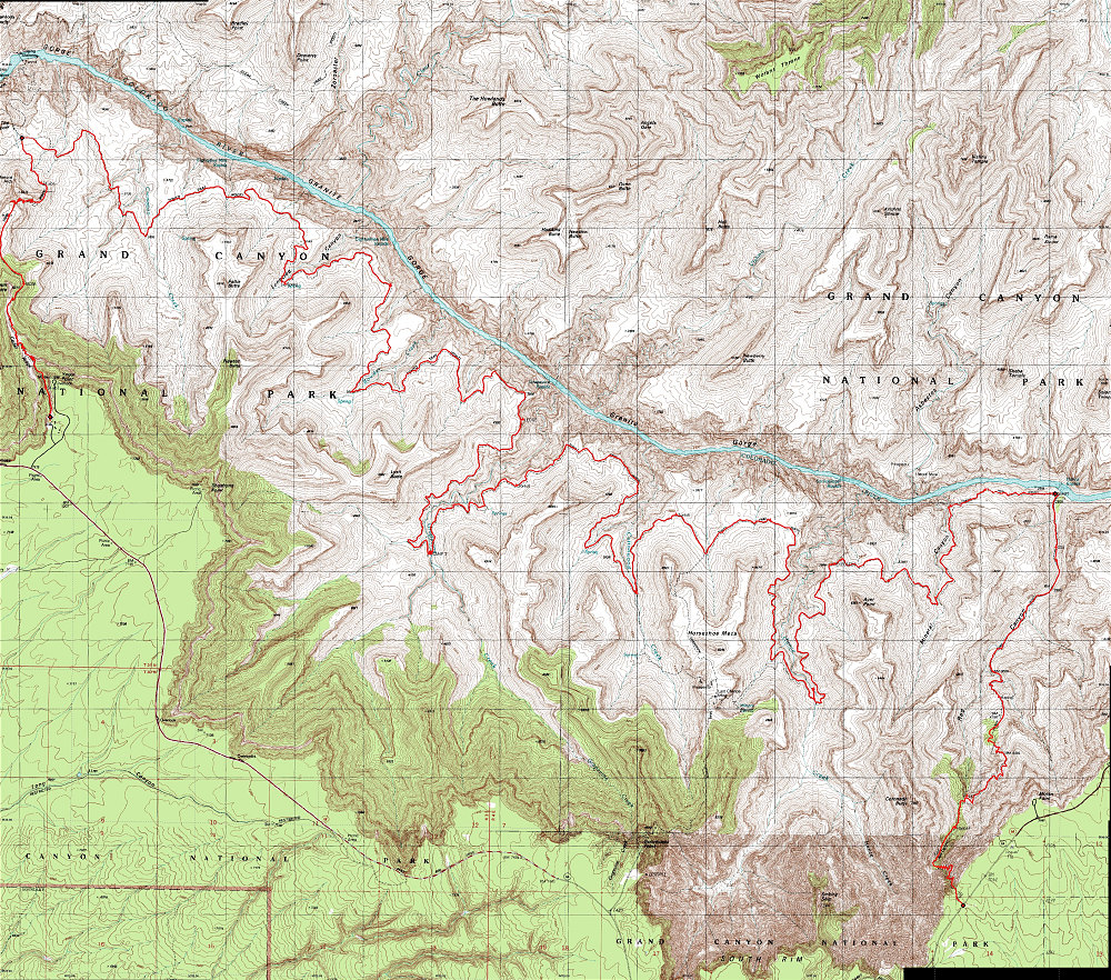
A Topographic map of the entire 5-day backpack, with a GPS-derived track of our actual path overlain on top. Total distance hiked: approximately 64 km. (click the 'Enlarge More' button to view a very high-resolution scrollable flash viewer of this image)
This image is from the presentation "Grand Canyon Backpack - New Hance Trail - Tonto Trail - South Kaibab Trail - Maps and Graphs".
 Go to presentation where this image occurs.
Go to location in presentation where this image occurs.
Go to presentation where this image occurs.
Go to location in presentation where this image occurs.
Copyright 2001-2016 alavigne.net.