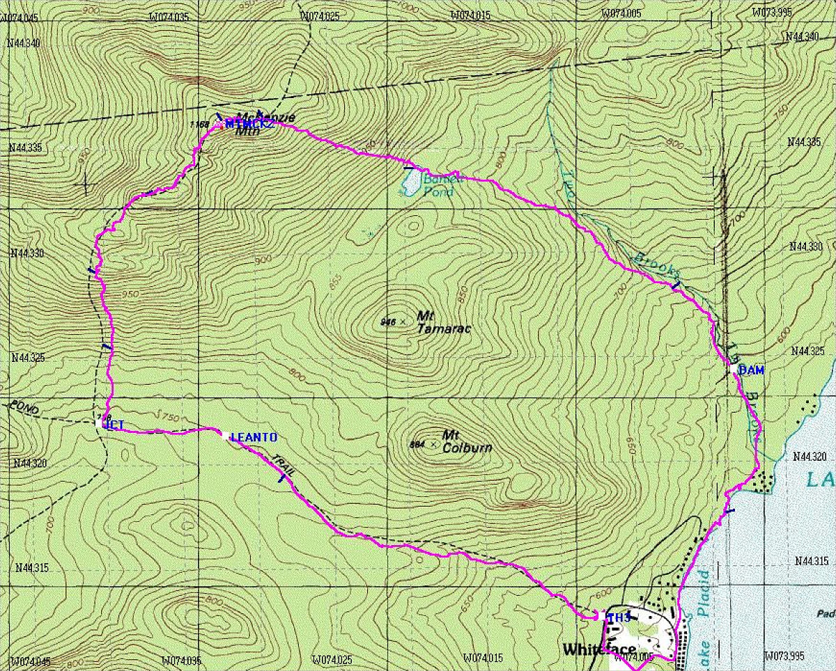
This map shows our loop hike. The purple track is a GPS-generated tracklog showing exactly where we went.
This image is from the presentation "McKenzie Mountain".
 Back to presentation.
Back to presentation.
Copyright 2001-2016 alavigne.net.