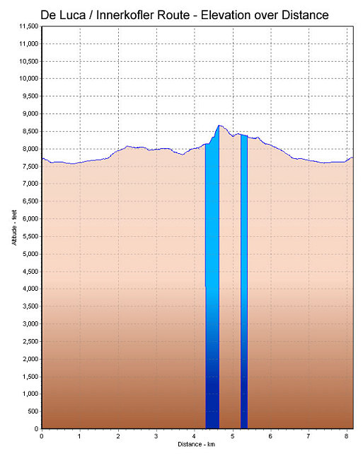
This is a GPS-derived elevation profile of the Alleghesi route, graphed over distance. The blue indicates ferrata sections (including the tunnel sections).
This image is from the presentation "Via Ferrata - Protected Climbing Paths in the Dolomites - De Luca / Innerkofler Route".
 Back to presentation.
Back to presentation.
Copyright 2001-2016 alavigne.net.