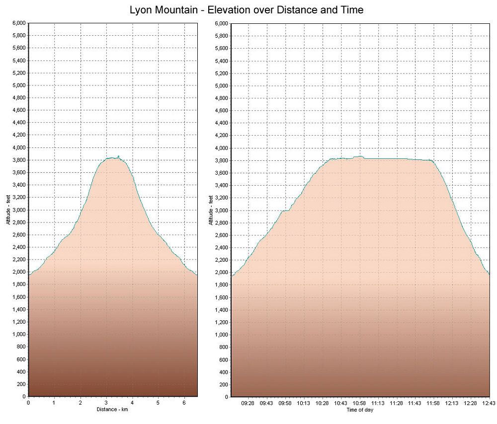
This is a GPS-derived elevation plot of our Lyon Mtn hike, graphed over distance and time.
This image is from the presentation "Lyon of the North (Mt Lyon)".
 Back to presentation.
Back to presentation.
Copyright 2001-2016 alavigne.net.