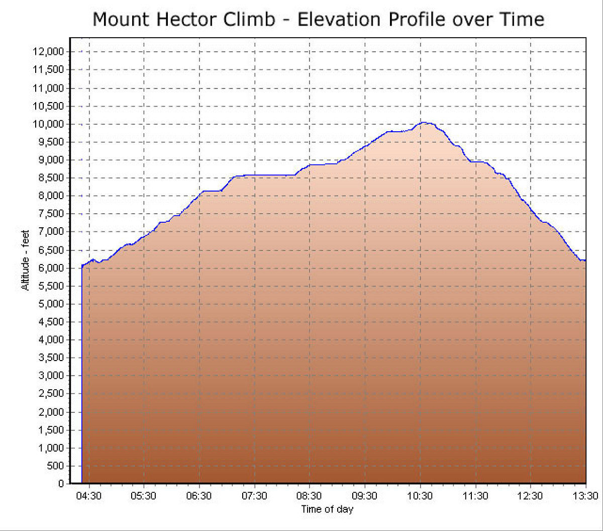
This is the GPS-derived elevation profile (over time) of our aborted climb of Mt. Hector (we did not reach the top).
This image is from the presentation "A Rocky Road Trip - Maps and Graphs".
 Back to presentation.
Back to presentation.
Copyright 2001-2016 alavigne.net.