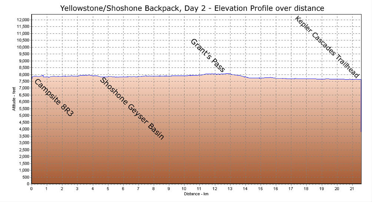
This is a GPS-derived elevation profile (over distance) of the second day of the Shoshone lake backpack. As you can see, it was also pretty flat.
This image is from the presentation "A Rocky Road Trip - Maps and Graphs".
 Back to presentation.
Back to presentation.
Copyright 2001-2016 alavigne.net.