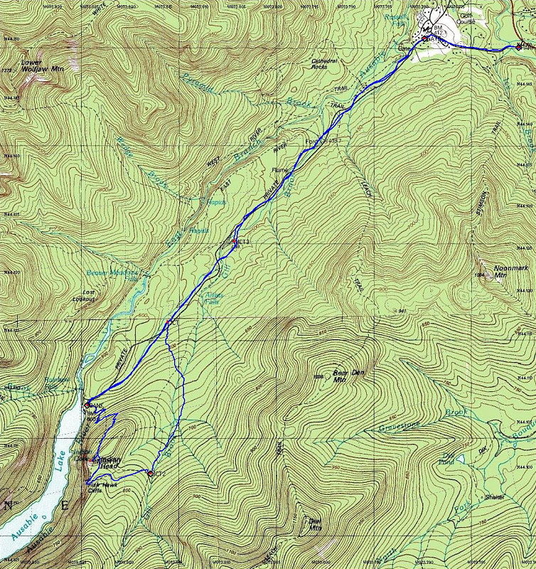
This is a topographic map of our hike / ski, overlain with a GPS tracklog of our route. My snowshoes failed just after Indian Head.
This image is from the presentation "Indian Head and a Broken Snowshoe".
 Go to presentation where this image occurs.
Go to location in presentation where this image occurs.
Go to presentation where this image occurs.
Go to location in presentation where this image occurs.
Copyright 2001-2016 alavigne.net.