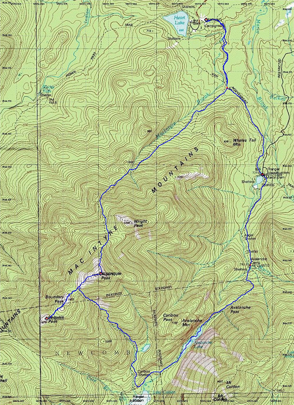
This is a Topographic map of our hike, overlain with a GPS-dervied tracklog.
This image is from the presentation "Algonquin and Iroquois Peak Loop".
 Go to presentation where this image occurs.
Go to location in presentation where this image occurs.
Go to presentation where this image occurs.
Go to location in presentation where this image occurs.
Copyright 2001-2016 alavigne.net.