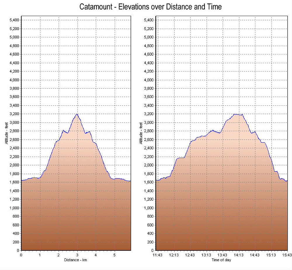
This is a GPS-derived elevation profile of our Catamount mountain ascent, graphed over distance and time.
This image is from the presentation "Catamount December 2005".
 Go to presentation where this image occurs.
Go to location in presentation where this image occurs.
Go to presentation where this image occurs.
Go to location in presentation where this image occurs.
Copyright 2001-2016 alavigne.net.