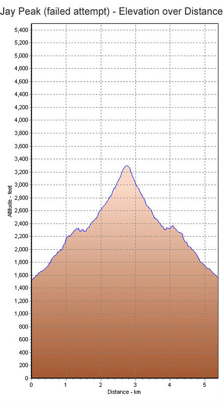
This is a GPS-derived elevation plot of our hike, graphed over distance. Note that the top is not the top of Jay Peak.
This image is from the presentation "Attempt on Jay Peak".
 Go to presentation where this image occurs.
Go to location in presentation where this image occurs.
Go to presentation where this image occurs.
Go to location in presentation where this image occurs.
Copyright 2001-2016 alavigne.net.