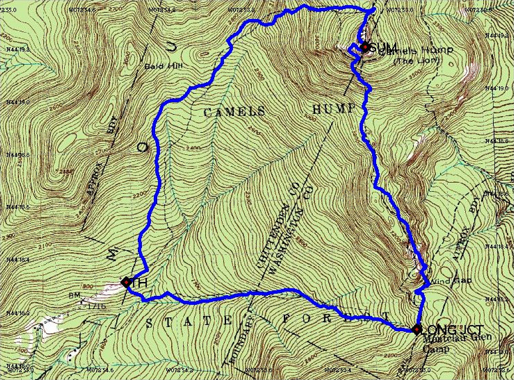
This is a GPS-annotated topographic map of our Camel's Hump loop hike. We started in the bottom left corner, hiked straight east to the Long Trail, then headed north towards the summit of Camel's Hump. From there, it was briefly north, then west and south back to the trailhead.
This image is from the presentation "Camel's Hump".
 Go to presentation where this image occurs.
Go to location in presentation where this image occurs.
Go to presentation where this image occurs.
Go to location in presentation where this image occurs.
Copyright 2001-2016 alavigne.net.