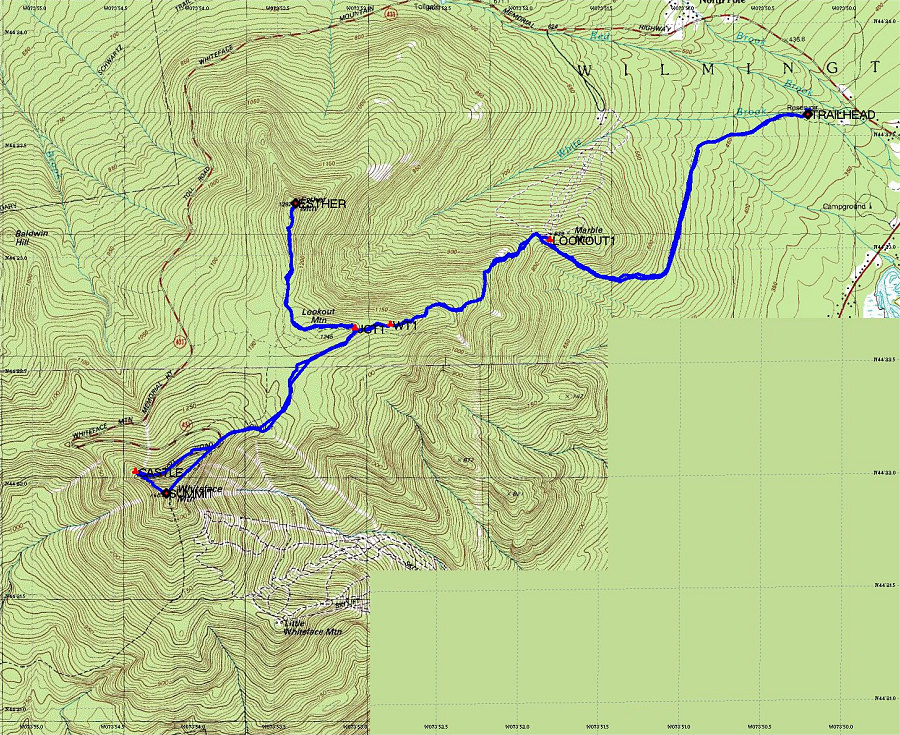
This is an annotated topographic map of our hike up Whiteface and Esther. The GPS track is overlain on the map in blue.
This image is from the presentation "Whiteface Mountain and Esther Mountain".
 Go to presentation where this image occurs.
Go to location in presentation where this image occurs.
Go to presentation where this image occurs.
Go to location in presentation where this image occurs.
Copyright 2001-2016 alavigne.net.