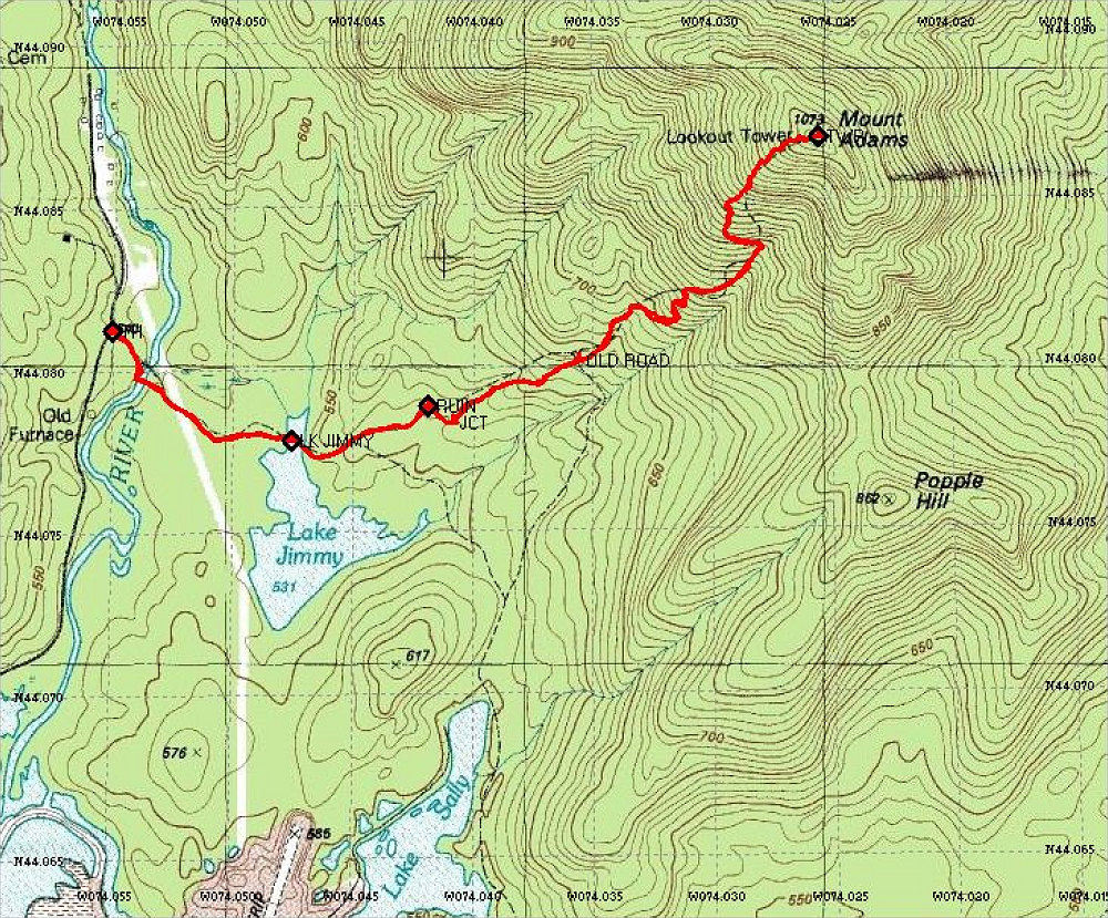
This is an annotated topographic map of the hike up Mt. Adams. The GPS tracklog from my GPS is overlain onto the map.
This image is from the presentation "Climb to the Mount Adams Fire Tower".
 Go to presentation where this image occurs.
Go to location in presentation where this image occurs.
Go to presentation where this image occurs.
Go to location in presentation where this image occurs.
Copyright 2001-2016 alavigne.net.