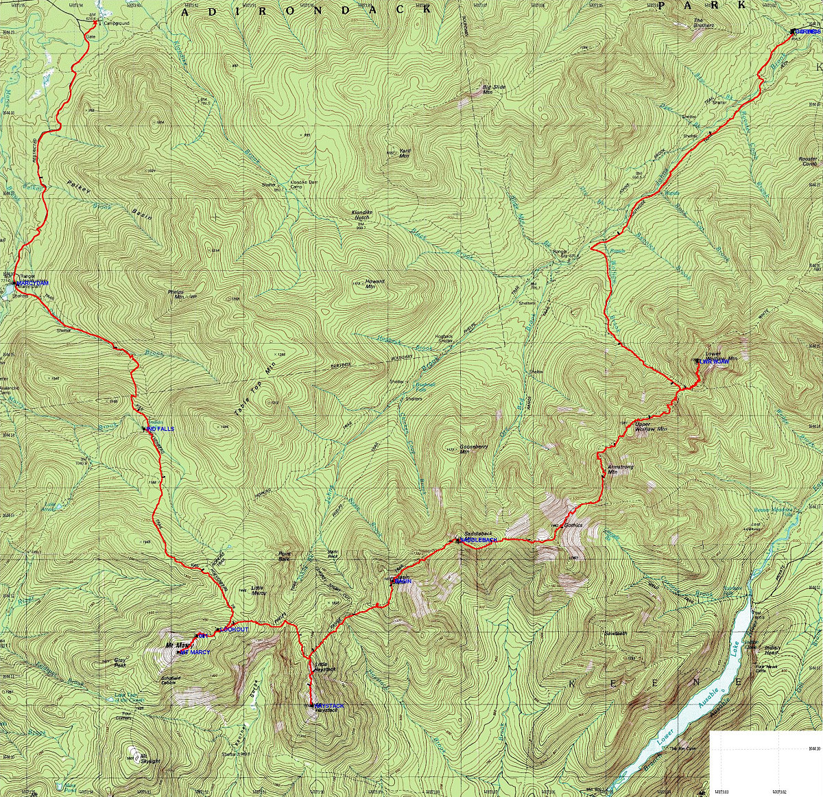
This is a topographic map of the hike, overlain with the GPS-generated track of the hike. Waypoints from my GPS data are also drawn in.
This image is from the presentation "The Crazy Eight Solstice Hike (aka The Great Range Traverse)".
 Go to presentation where this image occurs.
Go to location in presentation where this image occurs.
Go to presentation where this image occurs.
Go to location in presentation where this image occurs.
Copyright 2001-2016 alavigne.net.