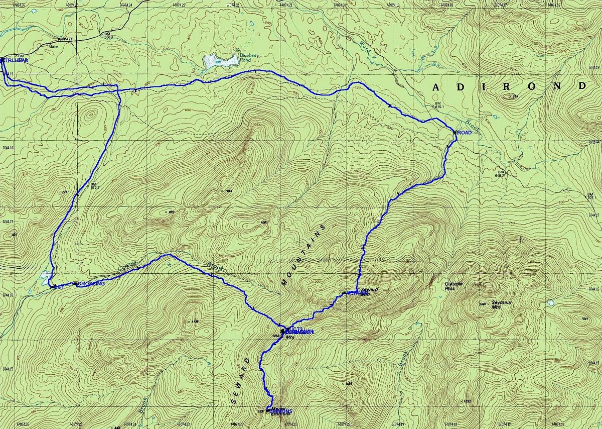
This is a Topographic map of the Sewards, with a GPS-derived tracklog superimposed over it. There is a bit of tracking error near the start/finish (I was having a hard time getting a lock there).
This image is from the presentation "Sewards 2004".
 Go to presentation where this image occurs.
Go to location in presentation where this image occurs.
Go to presentation where this image occurs.
Go to location in presentation where this image occurs.
Copyright 2001-2016 alavigne.net.