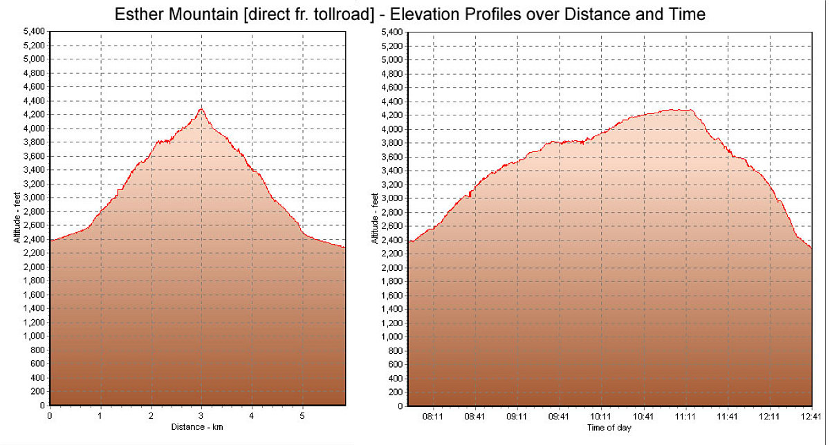
This is a composite of our elevation-over-distance and elevation-over-time graphs for our hike, taken from my GPS tracklog data.
This image is from the presentation "Esther Mountain Bushwhack".
 Go to presentation where this image occurs.
Go to location in presentation where this image occurs.
Go to presentation where this image occurs.
Go to location in presentation where this image occurs.
Copyright 2001-2016 alavigne.net.