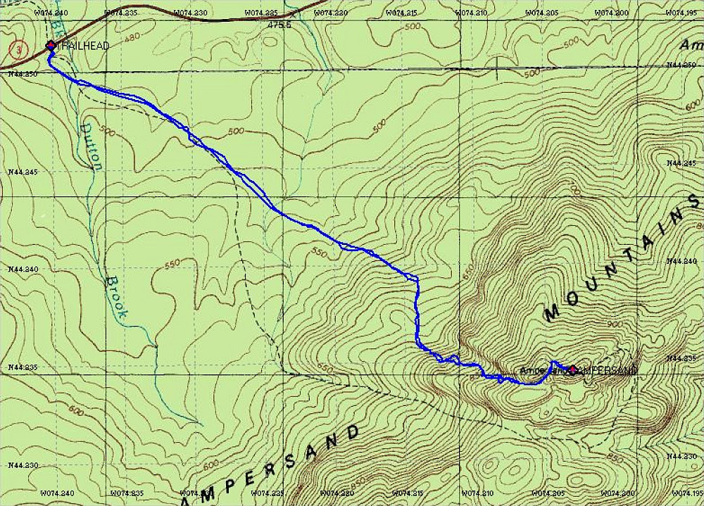
This is a topographic map of the hike, with a GPS-derived tracklog of our path overlain.
This image is from the presentation "Ampersand Mountain".
 Go to presentation where this image occurs.
Go to location in presentation where this image occurs.
Go to presentation where this image occurs.
Go to location in presentation where this image occurs.
Copyright 2001-2016 alavigne.net.