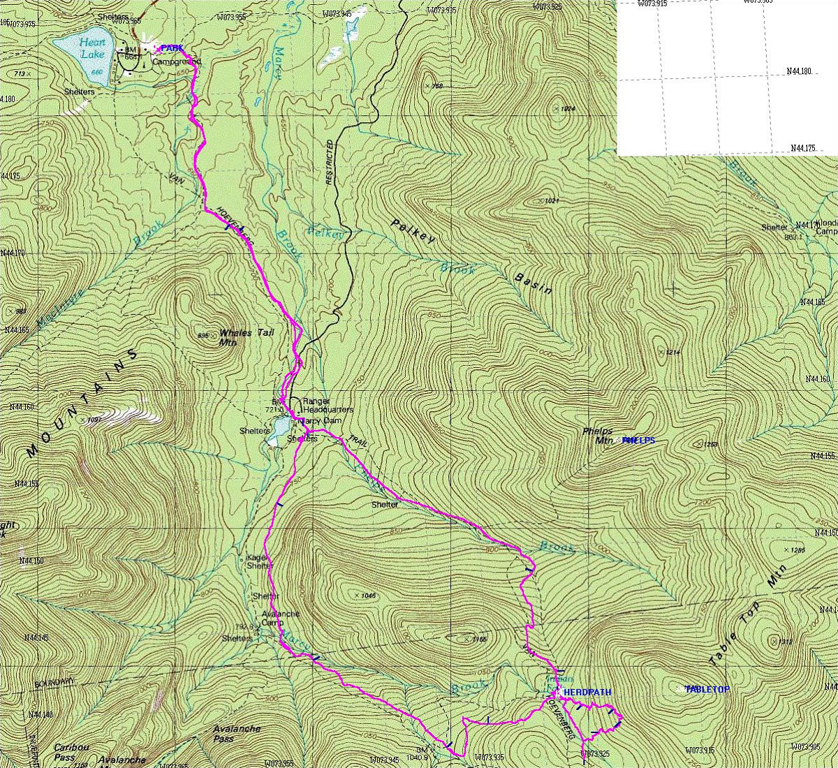
This is a GPS-derived tracklog of our hike superimposed upon a topo of the area. Note how the location of the trails has changed in many spots from the original trails drawn onto the topo. This is typical with the USGS topos of this area.
This image is from the presentation "Tabletop Mountain".
 Go to presentation where this image occurs.
Go to location in presentation where this image occurs.
Go to presentation where this image occurs.
Go to location in presentation where this image occurs.
Copyright 2001-2016 alavigne.net.