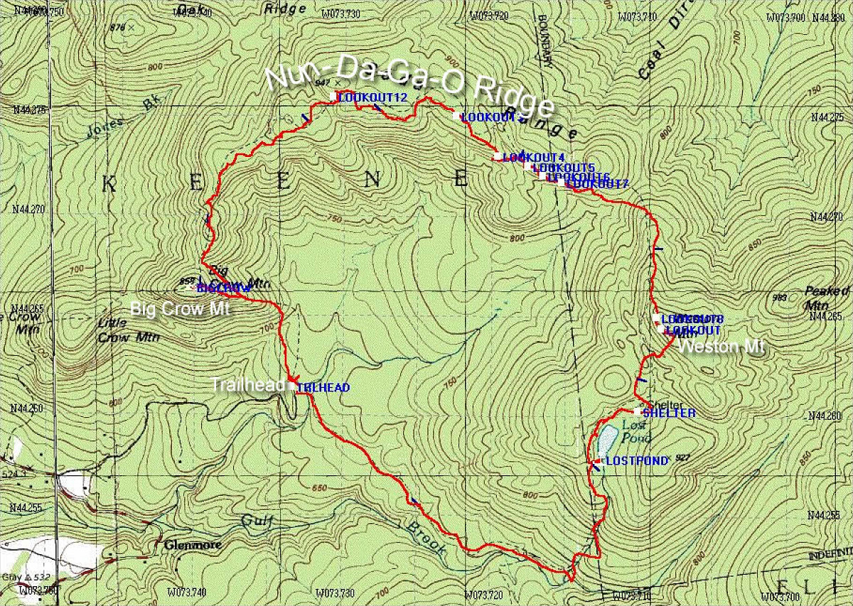
This is an annotated topographic map of the hike, showing the exact path we took from start to finish (path information obtained from my GPS unit).
Total distance: 11.07 km (includes small detour to Crow Mt).
Average Speed: 2.1 km/hr (including all stops).
Start time: 9:13am
Finish time: 2:25pm
Start altitude: 2214ft
Summit altitude: 3222ft
End altitude: 2214ft
This image is from the presentation "Nun-Da-Ga-O Ridge".
 Go to presentation where this image occurs.
Go to location in presentation where this image occurs.
Go to presentation where this image occurs.
Go to location in presentation where this image occurs.
Copyright 2001-2016 alavigne.net.