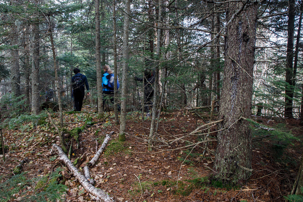
Descending to Col
Hiking a fairly long descent through forest to the col/saddle between Weston Mountain and the Soda Range portion of the NunDaGaO loop.
Hiking a fairly long descent through forest to the col/saddle between Weston Mountain and the Soda Range portion of the NunDaGaO loop.

This image is from the presentation "NunDaGaO Ridge combined with the Crows".
 Go to presentation where this image occurs.
 Go to location in presentation where this image occurs.
 Go to presentation where this image occurs.
 Go to location in presentation where this image occurs.
Copyright 2001-2016 alavigne.net.
