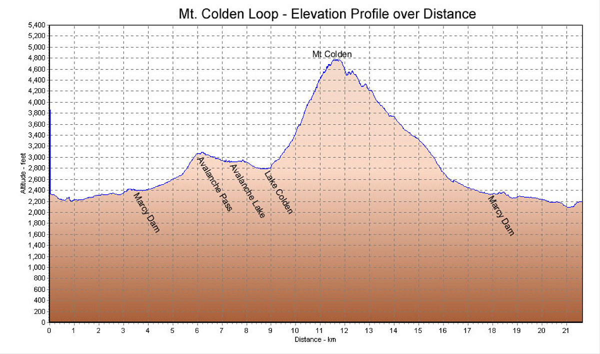
This is a GPS-derived elevation profile of the day's hike, plotted over distance. Distance was just under 22 kilometres.
This image is from the presentation "Mt Colden Winter Hike".
 Go to presentation where this image occurs.
Go to location in presentation where this image occurs.
Go to presentation where this image occurs.
Go to location in presentation where this image occurs.
Copyright 2001-2016 alavigne.net.