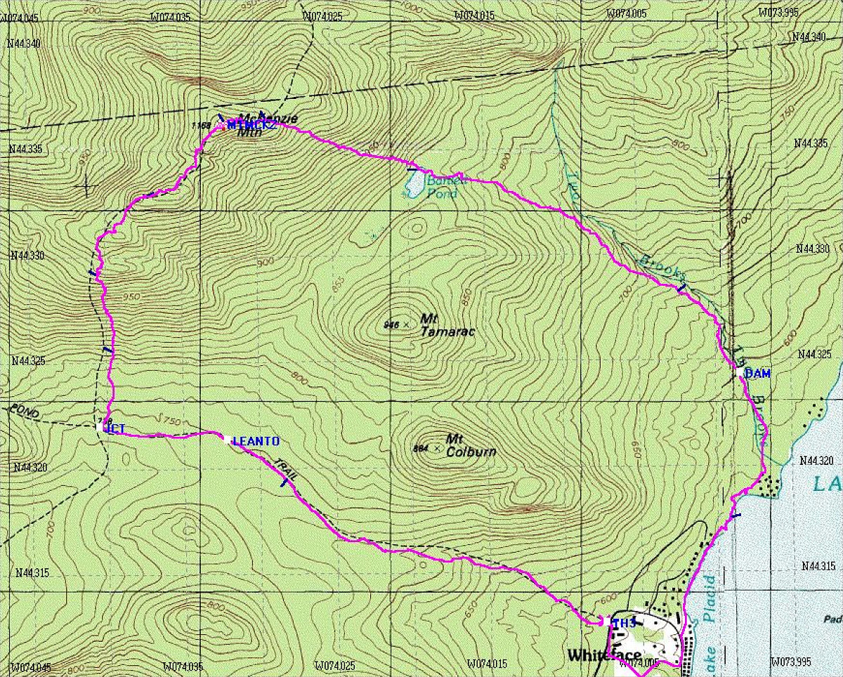
This map shows our loop hike. The purple track is a GPS-generated tracklog showing exactly where we went.
This image is from the presentation "McKenzie Mountain".
 Go to presentation where this image occurs.
Go to location in presentation where this image occurs.
Go to presentation where this image occurs.
Go to location in presentation where this image occurs.
Copyright 2001-2016 alavigne.net.