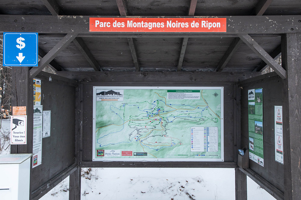
The map (there's one at each kiosk) of the Montagne Noires trail network. As you can see, it's a fairly dense network. The scale is quite small - in fact, the width of the map in its entirety is perhaps 3km across by 2km top-to-bottom.
This image is from the presentation "Montagnes Noires de Ripon".
 Go to presentation where this image occurs.
Go to location in presentation where this image occurs.
Go to presentation where this image occurs.
Go to location in presentation where this image occurs.
Copyright 2001-2016 alavigne.net.