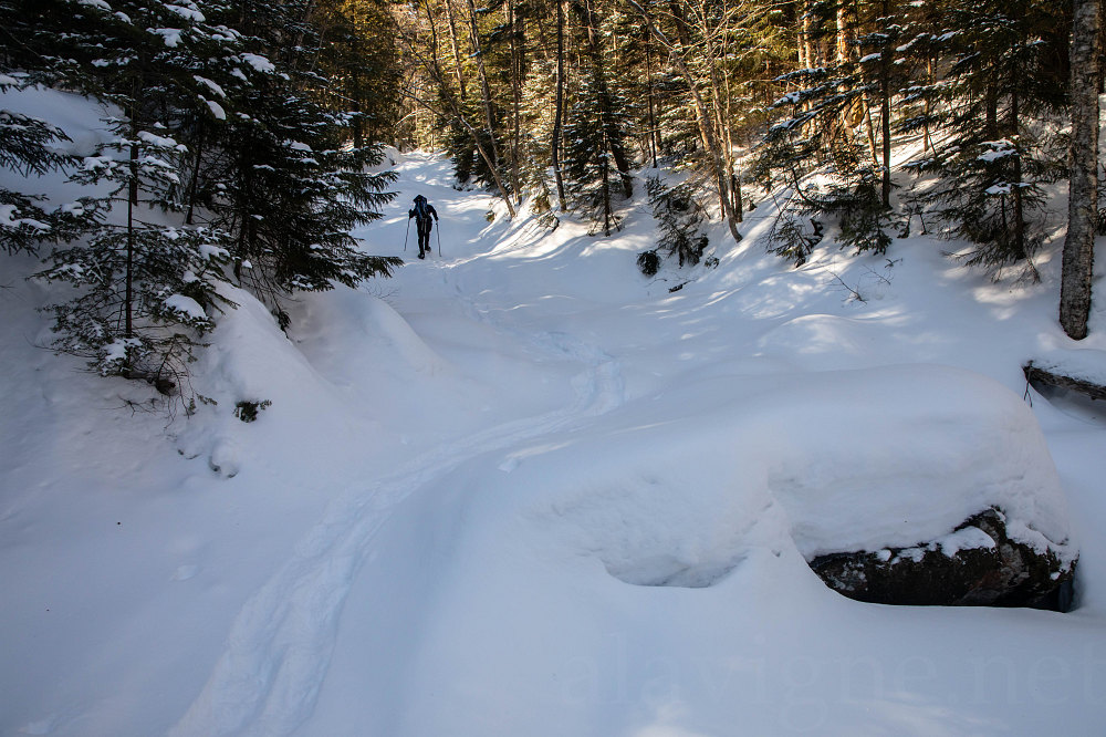
A bit higher up, we start following the base of the creek (this is the creek which drains Algonquin's Northeast face and terrain between Algonquin and Avalanche Mtn). As far as I know, this creek is un-named.
This image is from the presentation "Algonquin via the Northeast Face".
 Go to presentation where this image occurs.
Go to location in presentation where this image occurs.
Go to presentation where this image occurs.
Go to location in presentation where this image occurs.
Copyright 2001-2016 alavigne.net.