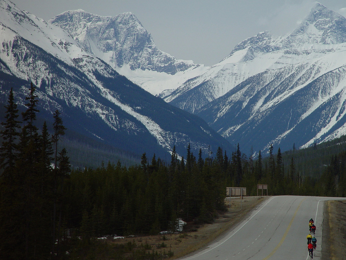
After reaching the continental divide, the route heads down highway 93 towards Kootenay national park and Radium, BC. The next 60 or 70 kilometers are almost all downhill.... yay! Here I think I've managed to capture the grandeur of cycling amidst these mountains. Mounts Grey and Drysdale are visible in the background, along with a glacier which is visible just below Mount Grey.
This image is from the presentation "The EVCC Golden Triangle Cycle Ride".
 Go to presentation where this image occurs.
Go to location in presentation where this image occurs.
Go to presentation where this image occurs.
Go to location in presentation where this image occurs.
Copyright 2001-2016 alavigne.net.