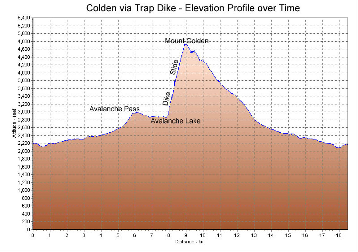
This is a GPS-derived elevation vs. distance profile of our hike. You can see how steep the trap dike section is.
This image is from the presentation "Colden via Trap Dike".
 Go to presentation where this image occurs.
Go to location in presentation where this image occurs.
Go to presentation where this image occurs.
Go to location in presentation where this image occurs.
Copyright 2001-2016 alavigne.net.