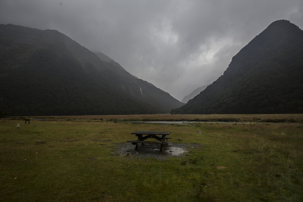
A mid-day view of Routeburn Flats. Note how much lower the level of the Routeburn River is today (compared to yesterday's photo of same).
This image is from the presentation "Queenstown, Wanaka, and the Southern Alps - Middle Earth Meander - New Zealand 2016".
 Go to presentation where this image occurs.
Go to location in presentation where this image occurs.
Go to presentation where this image occurs.
Go to location in presentation where this image occurs.
Copyright 2001-2016 alavigne.net.