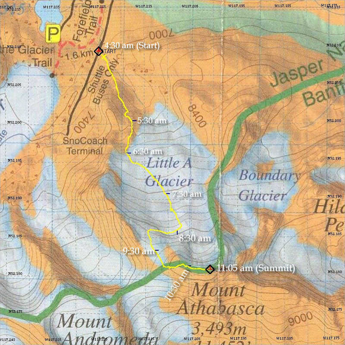
This map shows the actual GPS data log of our ascent. Each blue tick mark (and text) represents our location after each hour of elapsed time from the start.
This image is from the presentation "Rockies Mountaineering - Mt Athabasca - Yamnuska Snow + Ice Long Weekend - Maps and Graphs".
 Go to presentation where this image occurs.
Go to location in presentation where this image occurs.
Go to presentation where this image occurs.
Go to location in presentation where this image occurs.
Copyright 2001-2016 alavigne.net.