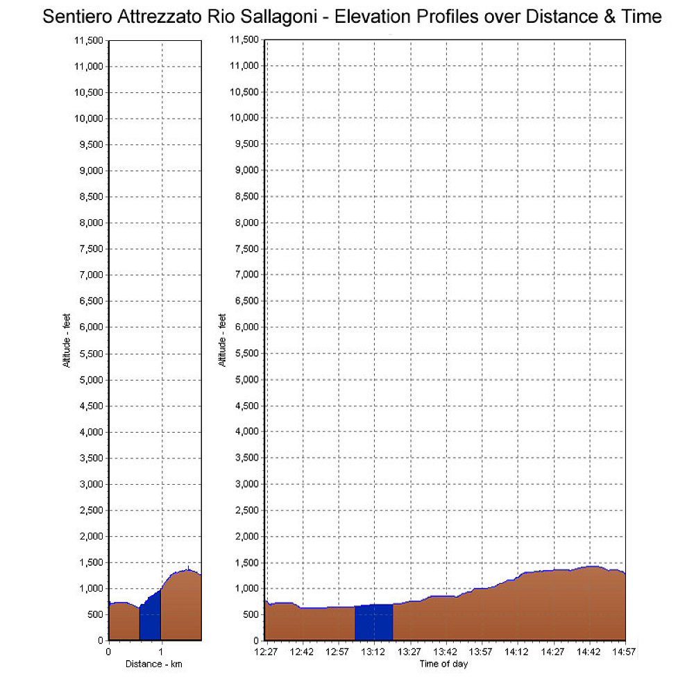
GPS-derived elevation plots of our climb of the Che Guevara route, graphed over distance and time
This image is from the presentation "The Dolomites and Via Ferrata 2007 - Rio Sallagoni, Castle Drena, and the Pale".
 Go to presentation where this image occurs.
Go to location in presentation where this image occurs.
Go to presentation where this image occurs.
Go to location in presentation where this image occurs.
Copyright 2001-2016 alavigne.net.