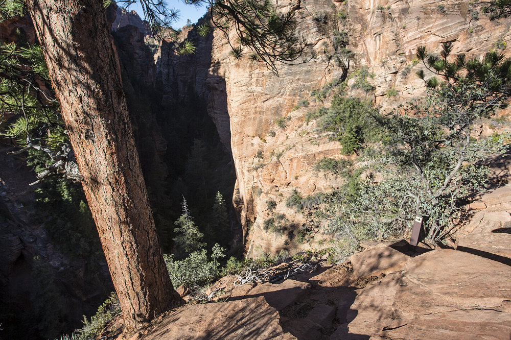
Top of Steep Gully
The Subway Route footpath / cairns lead to this small NPS sign with an arrow on it, on a point high above the inner narrows of Left Fork, North Creek. The arrow points to the steep gully descent route down into the lower part of Russell Gulch, a few tens of yards upstream of where it intersects with the Left Fork.
The Subway Route footpath / cairns lead to this small NPS sign with an arrow on it, on a point high above the inner narrows of Left Fork, North Creek. The arrow points to the steep gully descent route down into the lower part of Russell Gulch, a few tens of yards upstream of where it intersects with the Left Fork.

This image is from the presentation "Desert Southwest - The Checklist Edition - The Subway - Zion National Park".
 Go to presentation where this image occurs.
 Go to location in presentation where this image occurs.
 Go to presentation where this image occurs.
 Go to location in presentation where this image occurs.
Copyright 2001-2016 alavigne.net.
