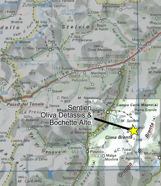
Regional Locator Map
A regional locator map showing the general location of the Sentiero Oliva Detassis and the Sentiero Bocchette Alte.
A regional locator map showing the general location of the Sentiero Oliva Detassis and the Sentiero Bocchette Alte.

This image is from the presentation "Via Ferrata - Protected Climbing Paths in the Dolomites - Sentiero Oliva Detassis and Sentiero Bochette Alte".
 Go to presentation where this image occurs.
 Go to location in presentation where this image occurs.
 Go to presentation where this image occurs.
 Go to location in presentation where this image occurs.
Copyright 2001-2016 alavigne.net.
