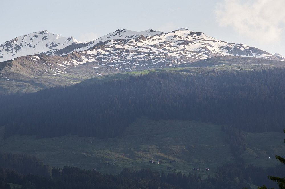
this view, taken from the Roemer flat, shows us most of the terrain we will cover on our Vorderalp hike: the lower pasture where we will park the car; the band of forest through which the route climbs, and the upper pasture of Vorderalp. The small cluster of buildings (top right) is the hike's highpoint. The original hike I had planned from this trailhead climbed to the highest of the snow-covered peaks behind.
This image is from the presentation "European Hopscotch - Switzerland - Oberalpstock, Vorderalp, and the Rheinwaldhorn".
 Go to presentation where this image occurs.
Go to location in presentation where this image occurs.
Go to presentation where this image occurs.
Go to location in presentation where this image occurs.
Copyright 2001-2016 alavigne.net.