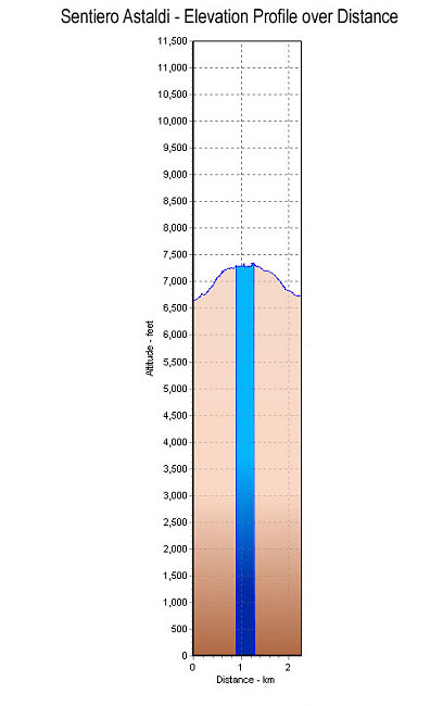
The short-but-sweet elevation profile of the Sentiero Astaldi loop. Starting and ending at Rifugio Dibona, taking path 421 on the way up and path 403 on the way down.
This image is from the presentation "Via Ferrata - Protected Climbing Paths in the Dolomites - Sentiero Astaldi".
 Go to presentation where this image occurs.
Go to location in presentation where this image occurs.
Go to presentation where this image occurs.
Go to location in presentation where this image occurs.
Copyright 2001-2016 alavigne.net.