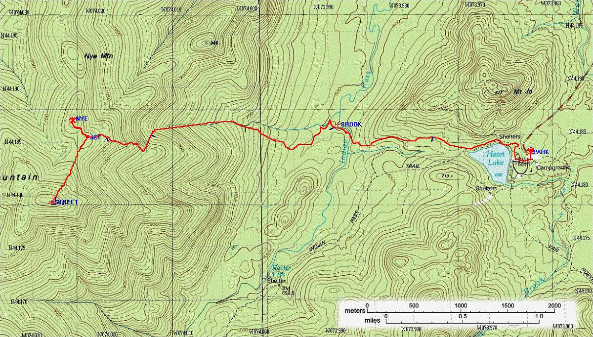
This is an annotated topographic map of the ascent, showing the exact path we took to get to the summits (path information obtained from my GPS unit).
Total distance for Ascent: 7.58 kilometres.
Average Speed: 2.3 km/hr
This image is from the presentation "Street and Nye".
 Go to presentation where this image occurs.
Go to location in presentation where this image occurs.
Go to presentation where this image occurs.
Go to location in presentation where this image occurs.
Copyright 2001-2016 alavigne.net.