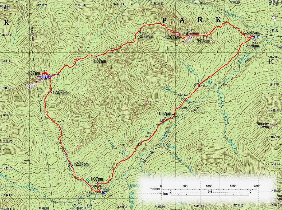
This an annotated topographic map of our route, showing the exact track followed (red, derived from GPS tracklog). Each blue tick is 30 minutes of elapsed time. Note how the trails marked on the old topo map have been changed in many places.
Trip Data (taken from GPS tracklog, available from link in left-hand column):
Total Distance : 15 kilometres.
Average Speed : 2.7 km/hr
Maximum Altitude : 4237 feet
Start Time: 8:37
Finish Time: 14:06
Duration: 5hrs 28mins
This image is from the presentation "Big Slide Hike".
 Go to presentation where this image occurs.
Go to location in presentation where this image occurs.
Go to presentation where this image occurs.
Go to location in presentation where this image occurs.
Copyright 2001-2016 alavigne.net.