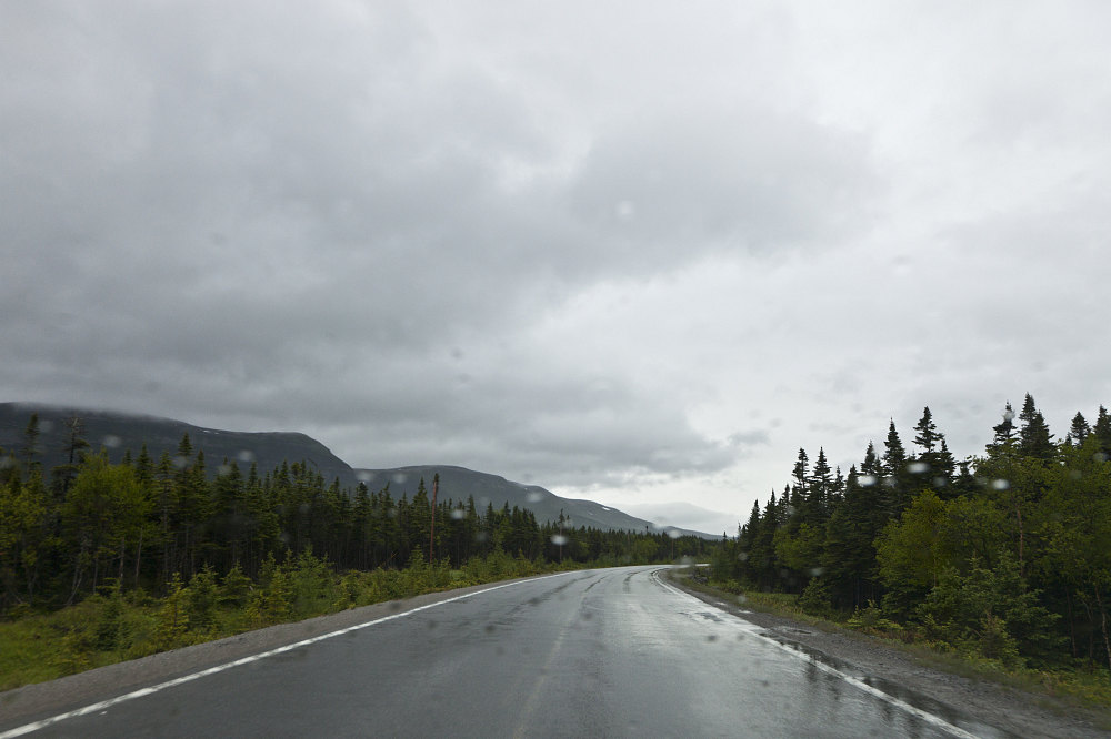
A shot of the drive down highway 430 south (the 'Viking' route), headed towards Gros Morne National Park. On the left, you can see the Long Mountains starting make their gradual approach to the coast (South Summit, in particular, is the bump on the left).
This image is from the presentation "Overland to the Rock - A Road Trip to Newfoundland via the recently completed Trans Labrador Highway - Main Narrative Part III".
 Go to presentation where this image occurs.
Go to location in presentation where this image occurs.
Go to presentation where this image occurs.
Go to location in presentation where this image occurs.
Copyright 2001-2016 alavigne.net.