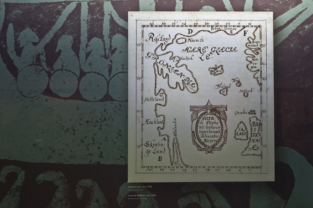
This is a reprint of the Skalholt map, circa 1590. The map was made, by a teacher in the 16th century, out of existing Viking records of the exploration of the North Atlantic. The tip of Newfoundland's Northern Peninsula is at the lower left.
This image is from the presentation "Overland to the Rock - A Road Trip to Newfoundland via the recently completed Trans Labrador Highway - Main Narrative Part III".
 Go to presentation where this image occurs.
Go to location in presentation where this image occurs.
Go to presentation where this image occurs.
Go to location in presentation where this image occurs.
Copyright 2001-2016 alavigne.net.