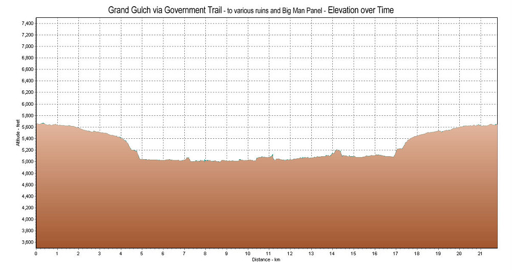
This is a GPS-derived elevation plot of our Grand Gulch dayhike, graphed over distance.
This image is from the presentation "Fine in 09: Packin' It In - Escalante, Capitol Reef, Leprechaun, and the Anasazi".
 Go to presentation where this image occurs.
Go to location in presentation where this image occurs.
Go to presentation where this image occurs.
Go to location in presentation where this image occurs.
Copyright 2001-2016 alavigne.net.