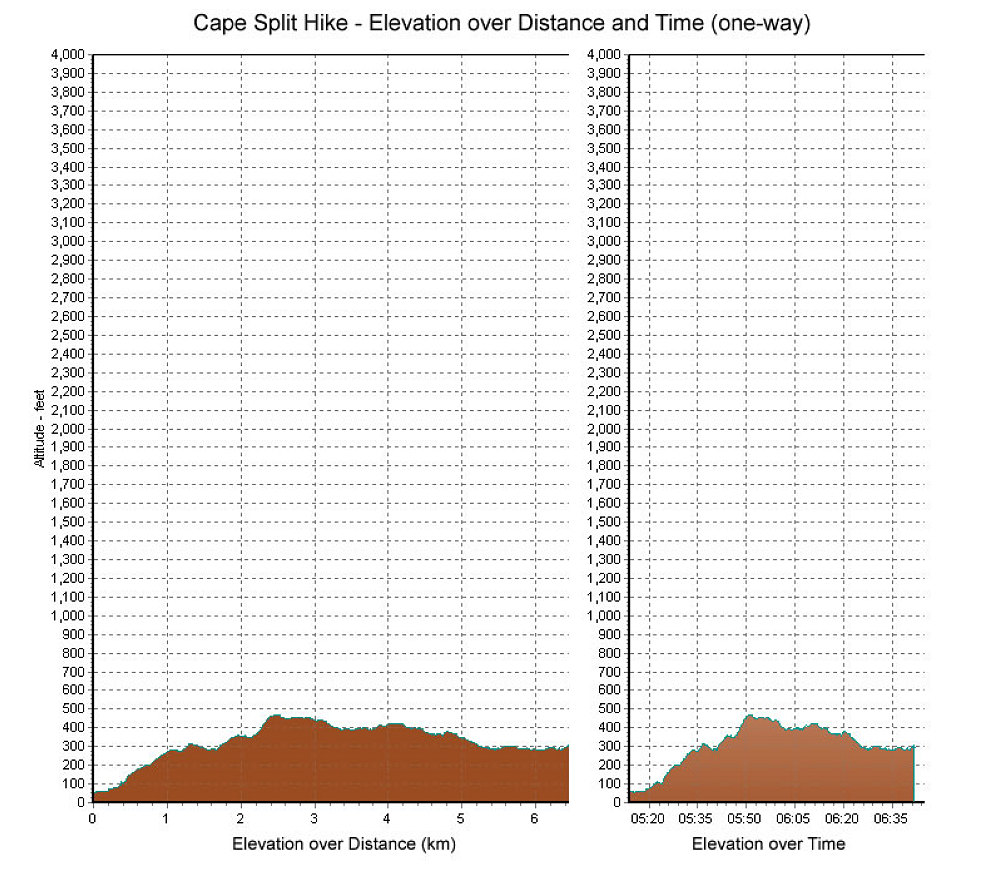
This is a GPS-derived elevation profile of our Cape Split Hike, graphed over distance and time. Note that the graph only shows the one-way distance and time. Double the amounts to get the total distance and time.
This image is from the presentation "Hike to Cape Split, Nova Scotia".
 Go to presentation where this image occurs.
Go to location in presentation where this image occurs.
Go to presentation where this image occurs.
Go to location in presentation where this image occurs.
Copyright 2001-2016 alavigne.net.